John Tibbetts Of The National Weather Service Warns Of “Very Dangerous Conditions” For Cayman

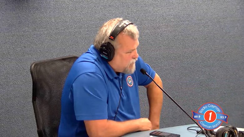
John Tibbetts On The For The Record Show (image source: YouTube, Radio Cayman)
|
Getting your Trinity Audio player ready...
|
By Alric Lindsay
On the For The Record show this morning, September 23, 2024, John Tibbetts, Director General of The Cayman Islands National Weather Service, gave an update about the bad weather conditions expected for the Cayman Islands this week.
Tibbetts explained:
So, for the last few days, we’ve been actually tracking a broad area of low pressure that’s built across the northwest Caribbean. It has got a slow west northwest, northwest type motion to it.
…this broad area of low pressure is drifting towards coming up to the west of the Cayman area, and it is getting better organized with time. The National Hurricane center has given it a disturbance number of 97. So they are actually looking at it and they’re monitoring it and they’re expecting hurricane hunter to go into the area this afternoon. At that time, we will get some more advanced information on the system. For right now, it is important that we pay close attention to what’s going to happen here as there are some very dangerous conditions are going to prevail. We have, the National Weather Service has flood warnings out valid all the way through Thursday.
Regarding rainfall that the Cayman Islands could expect between now and Thursday, Tibbetts predicted “a lot of rainfall” and “18 to 19 inches of rainfall over four days.” He expects this to start to decrease on Thursday.
Concerning flooding, he said:
The flooding will come in two different separate components because we’ve got freshwater flooding coming from all the rainfall, but we’re also experiencing some elevated tides right now. You might know them as king tides, and that will bring in some seawater intrusion into the low lying areas near the coast in particular.
Tibbetts added the bad weather conditions would also bring strong winds. Regarding this, he explained that “We’re expecting the wind speeds to pick up from this afternoon, east southeast 20 to 25 knots this afternoon and then rising up to about 25 to 30 knots tomorrow and on Wednesday before starting to drop back down on Thursday.”
He continued:
That means we’ll have a small craft warning out. We have a small craft warning out for today, marine warnings out for Tuesday and Wednesday. And then on Thursday, a small craft warning.
Concerning ongoing weather updates, he cautioned the public, saying:
Again, this is a system that is getting itself better organized. And they’re going to be many models that are available to the public that they’re going to look at, and they’re going to say one thing or the other. This system, if it continues to develop, then we will see something from it. The question is where and when?
Please pay attention to your local sources and be very careful about what you’re looking at with regards to the weather models, the input that you’re getting from outside of these sources.
Residents can view the official local weather updates using the following links: