Forecasters Say A Tropical Wave Is Approaching Lesser Antilles And May Become Tropical Storm Ernesto By Next Week

Weather Channel forecast
|
Getting your Trinity Audio player ready...
|
By Alric Lindsay
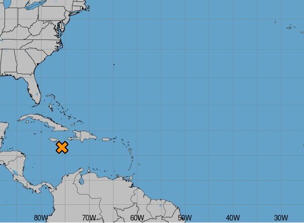
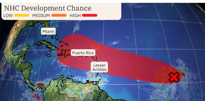
The National Hurricane Center said this morning that a tropical wave is approaching the Lesser Antilles and is expected to arrive there either Monday or Tuesday. The Tropical wave is generally moving west-northwestward.
Regarding the chance of development, the National Hurricane Center said there is a 30 per cent formation chance through 48 hours and an 80 per cent formation chance through 7 days.
The Weather Channel added, ” There is some potential for it to become either a tropical depression or Tropical Storm Ernesto either before or while it’s near the Lesser Antilles, as it moves into a favourable environment of low wind shear and ample ocean warmth.”
(Image source: Weather Channel)
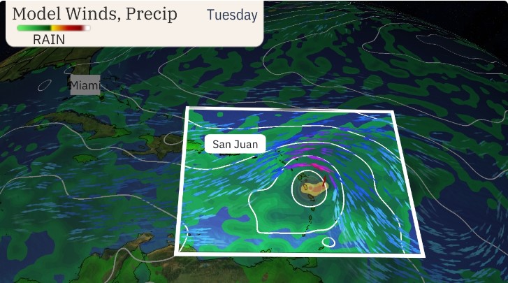
Regarding what happens after the Lesser Antilles, the Weather Channel explained:
Computer forecast models suggest there will be a gap between two high pressure areas – the Bermuda-Azores high and a southern U.S. heat dome. In general, well-developed tropical storms and hurricanes usually move toward this gap between the ridges, curling north, then northeastward.
Where that gap will be is critical. If the Bermuda-Azores high is more expansive and that gap is closer to the East Coast, “future Ernesto” could track closer to the East Coast when it curls north, then northeast.
But what if the system doesn’t develop as fast? In that case it could stay farther south and/or track over Hispaniola and Cuba and get far enough west where, even when it develops and then curls north, it may not be able to avoid at least parts of the U.S.
Interests in the Caribbean are encouraged to monitor this development and listen to advisories from local weather stations since forecasts may change at any time.